The landscape is changing under a host of social, economic and environmental pressures. Activities such as Landscape Management, planning & development, farming, coastal erosion and the changing climate all have an influence on the character and condition of the landscape.
Fixed Point Photography is a tool which enables us to record and monitor visual change within the landscape. It involves taking photographs, from the same point, at intervals over a period of time. The photographs are then compared to identify where changes occur and if changes have a positive or negative impact upon the character and condition of the landscape.
Project aims
- To monitor record changes in the landscape (i.e. changes to vegetation cover; changes to coastal and inland habitats)
- Ensure that new opportunities/challenges to the landscape can be identified and addressed through the AONB Management Plan & associated Action Plan
- After a number of years, the project would provide a valuable photographic archive of the AONB;
CCGHT is currently undertaking fixed point photography at key sites around the 3 North Coast AONBs.
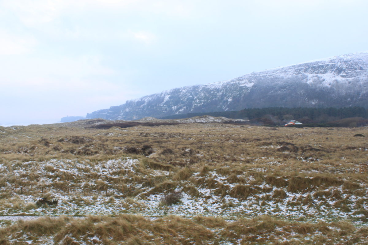
- Benone Grazing Scheme, Limavady
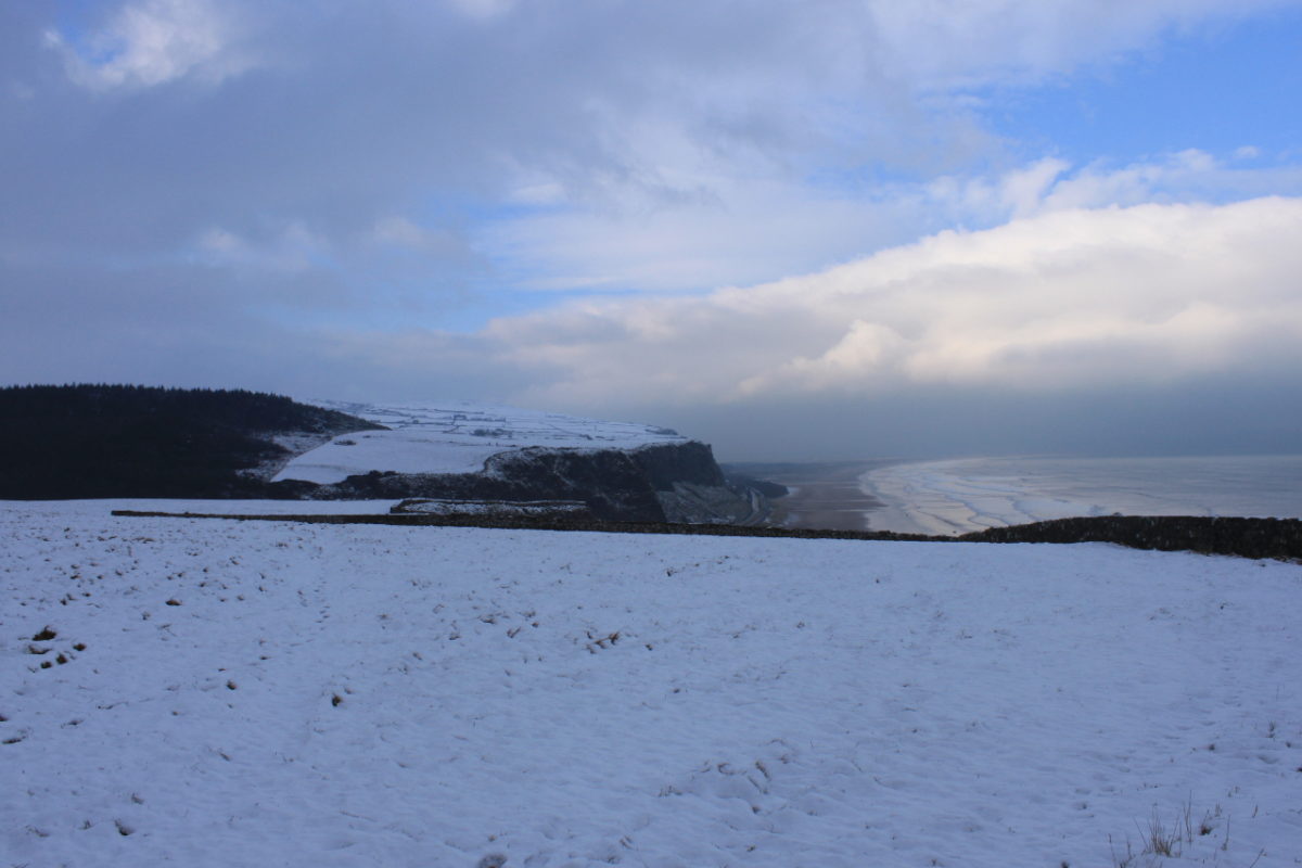
- Downhill Estate, Limavady
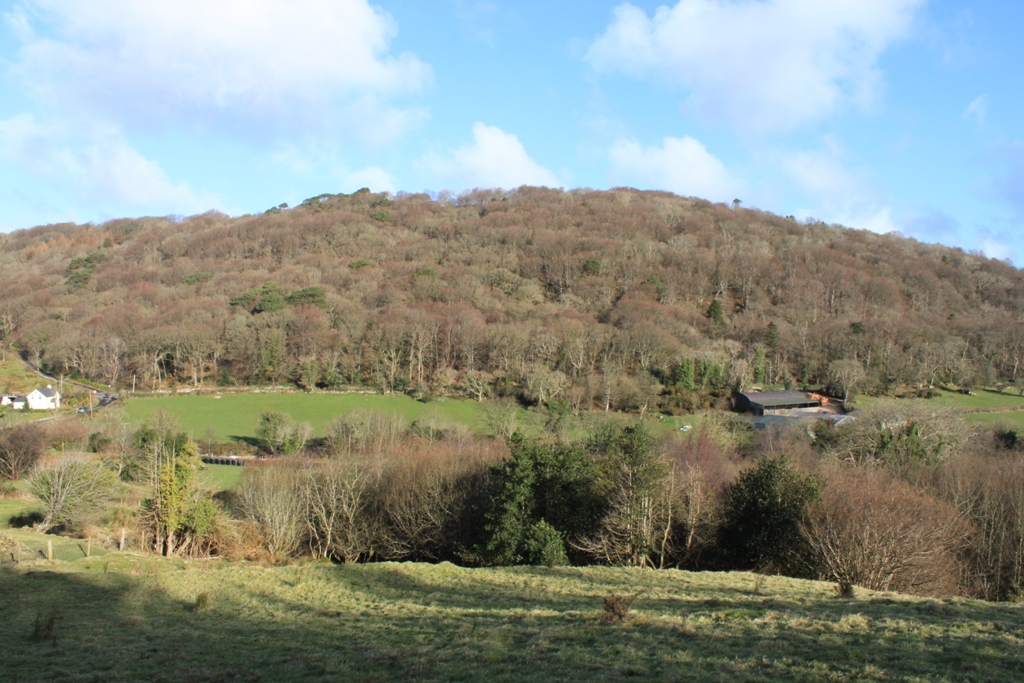
- Craigagh Wood, Cushendun
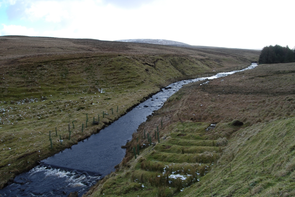
- Glendun River
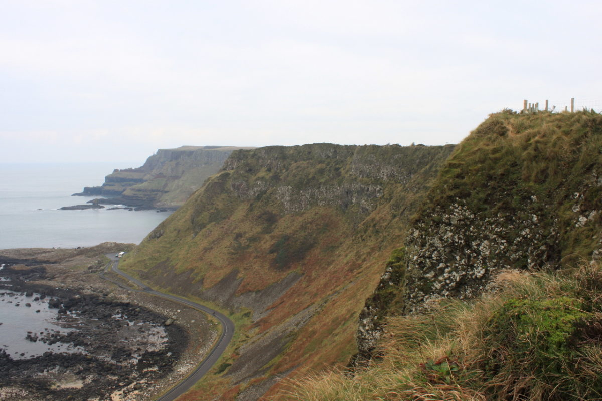
- The Giant’s Causeway
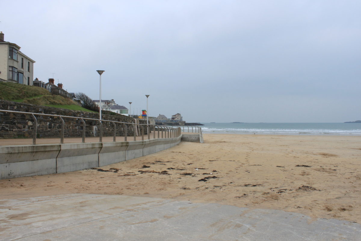
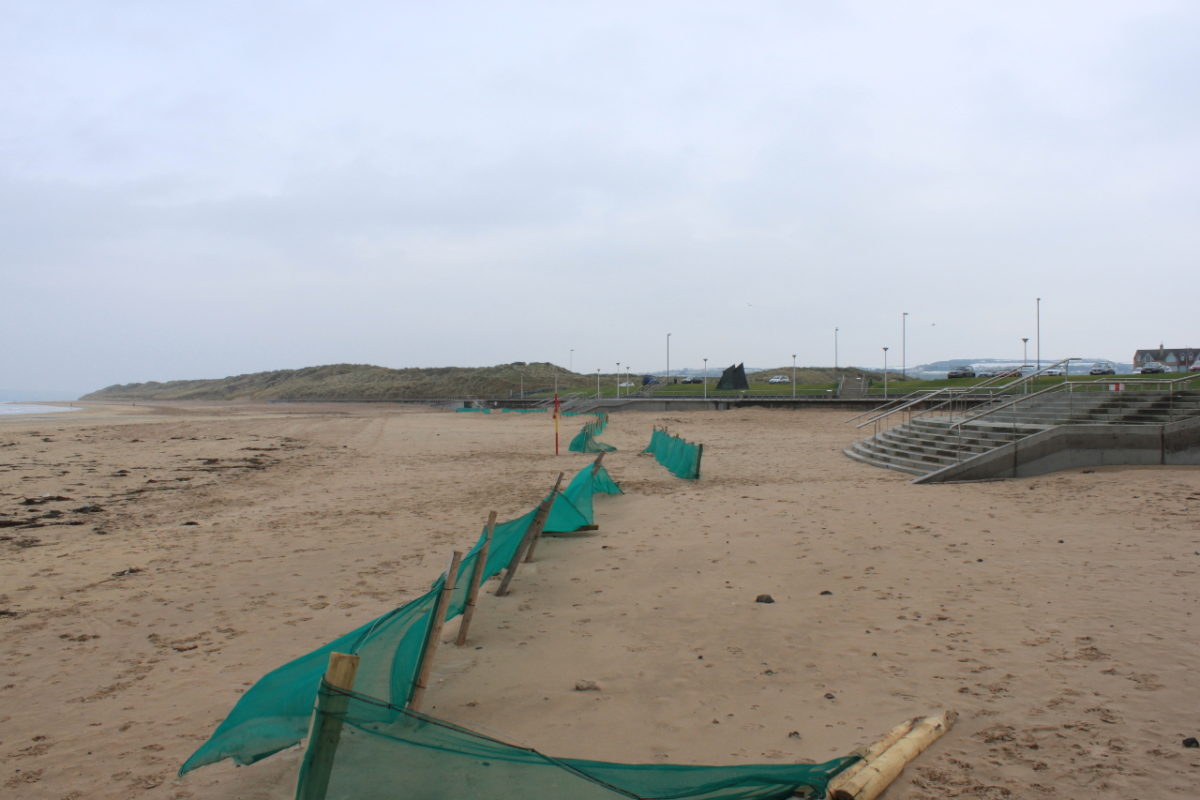
- East Strand, Portrush
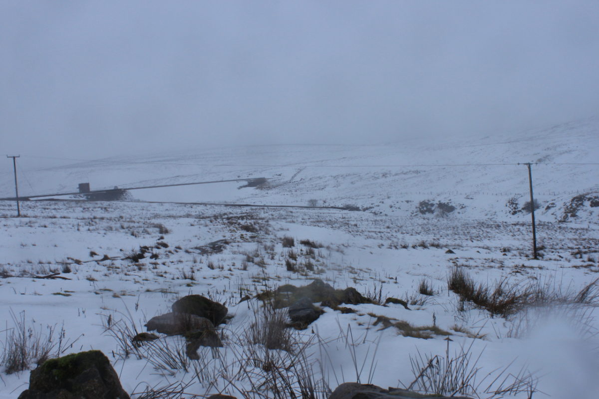
- Garron Plateau
Week beginning 21st January 2013 volunteers from Limavady Borough Council, Long Line Surf School, the National Trust, Coleraine Borough Council, RSPB, Glens Red Squirrel Group and the Glendun Anglers braced the wintry weather conditions and got behind the camera lens and received training on Fixed Point photography from David Armstrong, of DJA Photography, Whitehead.
Volunteers will return to their chosen site in August and take more photographs of each site. Over a three to five year period, this project will provide a valuable photographic archive of change within the Causeway Coast, Binevenagh and the Antrim Coast and Glens AONBs.
Below is a selection of images taken at each of the above sites.

