
Local Legacy of World First Mapping Project Marked at Mapping Monuments Conference and New Exhibition
A community heritage project undertaken by Binevenagh and Coastal Lowlands Landscape Partnership Scheme and Queen’s University Belfast has shared valuable insights into how Lough Foyle area was mapped two hundred years ago by the Ordnance Survey.
The Mapping Monuments project, funded by The National Lottery Heritage Fund marked the end of the project with a conference in Ballykelly on Friday 17 November.
In the late 1820s and 1830s, the countryside around Lough Foyle was busy with surveyors occupied with measuring and mapping landscapes for the Ordnance Survey. It was the world’s first large scale mapping of an entire country, and to complete the work surveyors used chains, theodolites and limelight to calculate distances and heights across the landscape.
Since November 2021, over 20 volunteers have been carrying out fieldwork and local research to find traces of the Ordnance Survey in the Lough Foyle landscape. This included creating an inventory of local benchmarks on buildings, walls and bridges, archival research and for the first-time geophysical survey of one of the surveyors’ encampment sites at Bellarena Estate. The results of this research has been added to the project website go.qub.ac.uk/MappingMonuments
Many farmers or building owners unknowingly had traces of the Ordnance Survey chiselled into their buildings or walls in the form of benchmarks, sometimes referred to as ‘crow’s feet’. Before the digital age, these were an essential part of the surveying process necessary for determining heights.
Professor Keith Lilley from Queens University Belfast who led the Mapping Monuments Project said:
“2024 is a significant year as it marks the bicentenary of the start of the Ordnance Survey’s field-operations, beginning on the north coast.
“A crucial part of this mapping was the careful and accurate measurement of the Lough Foyle baseline, stretching for eight miles from Ballykelly to Magilligan. Although this line through the landscape is invisible, its presence is marked by the three circular ‘towers’ constructed by the surveyors at Ballykelly, Minearny and Ballymullholland. This surveying heritage is of global significance and our Mapping Monuments project has helped put it more firmly on the map.”
The Mapping Monuments conference was opened by broadcaster Joe Mahon who reflected on how one of the Ordnance Survey surveyors of the 1830s, John O’Donovan had influenced his career. The conference attracted over 100 delegates from a wide range of interests including farmers, hillwalkers, professional surveyors, and members of local historical groups. Speakers included a mix of volunteers, who had been working on the project, and academics and artists, who spoke on the project findings and the wider legacy of the Ordnance Survey in Ireland.
Grace McAlister, Historic Environment Project Officer with Causeway Coast and Glens Heritage Trust, said; “It’s fantastic to bring a conference like this to Ballykelly, and to have so much interest from the local community.
While the Ordnance Survey of Ireland can be difficult heritage for many due to its colonial associations, it was an internationally significant mathematical feat grounded in the local area. In addition, the Ordnance Survey memoirs that were produced alongside the map-making captured invaluable social and cultural information from the time.
Enormous thanks must go to the volunteers who gave their time, skills and knowledge so generously to the project.”
Dr Jim McGreevy, Northern Ireland Committee Member at The National Lottery Heritage Fund said:
“Mapping Monuments is a remarkable project that has provided an opportunity for people to discover the legacy of this landscape through volunteering, attending the conference or by visiting the upcoming exhibition. We are delighted to support Causeway Coast and Glens Heritage Trust in this worthwhile project, with thanks to National Lottery players for making it possible.”
A new travelling exhibition produced by the Mapping Monuments team about the Ordnance Survey’s traces, sites and stories along the Lough Foyle Baseline was previewed at the Conference. The exhibition will be on display in Tollymore National Outdoor Centre in January 2024 before moving to Roe Valley Arts and Cultural Centre in March 2024.
Further information on where to see the Mapping Monuments exhibition will be listed on Binevenagh & Coastal Lowlands Landscape Partnership Scheme Facebook page and the CCGHT website www.ccght.org. If you have any stories relating to Ordnance Survey heritage or know of any unusual benchmarks please contact Grace McAlister grace@ccght.org / 07951371570
ENDS
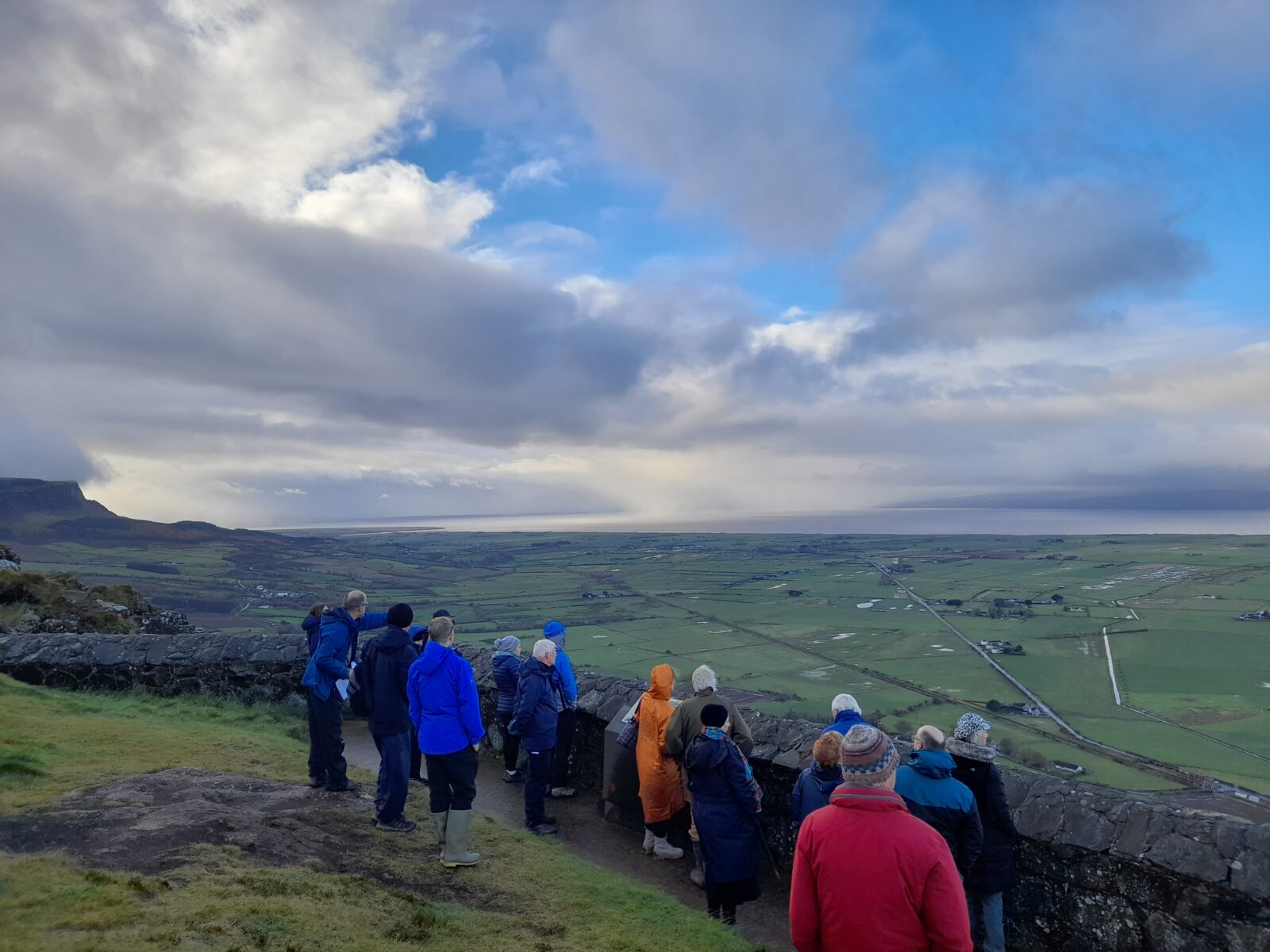
Photo 1: Surveying on Binevenagh Mountain
Photo 2: A benchmark or ‘crow’s foot’ cut in the stonework on the McConway farm, Clagan townland, Bellarena.
Photo 3: Queens University staff and volunteers carrying out geophysical Survey at Bellarena Estate
Photo 4: Conference delegates visiting the South Base Tower at Ballykelly
Photo 5: Broadcaster Joe Mahon opens the Mapping Monuments conference at the Drummond Hotel Ballykelly
Photo 6: The South Base Tower at Ballykelly
Photo 7: Conference attendees at the Drummond Hotel, Ballykelly


